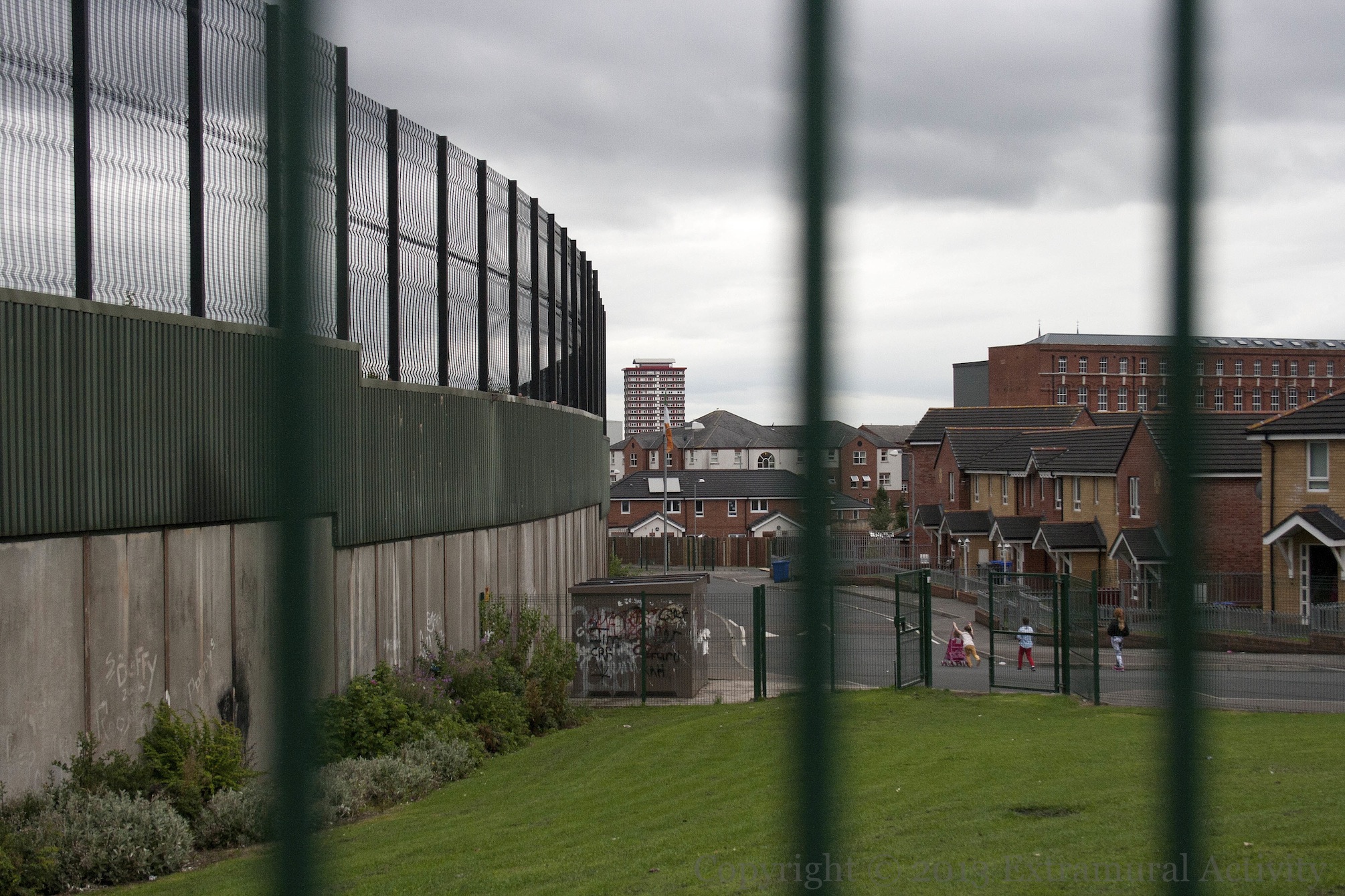
Previously we featured an image from the north (loyalist) side of the Cupar Way “peace” line, a.k.a. “war wall” or “wall of hostility” – the wall/fence separating neighbourhoods along the Shankill from those along the Falls. Here are two shots from the south (republican) side of the line, in Bombay Street. Divis tower is visible in the distance in the first. The second, below, shows the additional fencing that covers the backs of some houses.
More information about the west Belfast war wall is included in the Visual History page State Art Vs Graffiti On The West Belfast “Peace” Line.

Click image to enlarge
Copyright © 2013 Seosamh Mac Coılle
X01285 X01273
