When Cupar Way was constructed (circa 1984) it was a joining stretch of road put in place where the houses along Ashmore Street had been, and joined up (part of) Cupar Street and the old First Street; the new road in toto was called “Cupar Way”. Ashmore had been left undeveloped after the start of the Troubles and despite the presence of the separating barrier from 1969 onward, many of the houses on both sides of the wall were demolished or left vacant for various lengths of time. Carlow Street, for example, was redeveloped in 1981, even before the modern wall was put in place, while Ashmore and the bottom of the old Sugarfield Street was not redeveloped until the mid-1990s. (For more info and maps see the Visual History page of the Cupar Way “peace” line.)
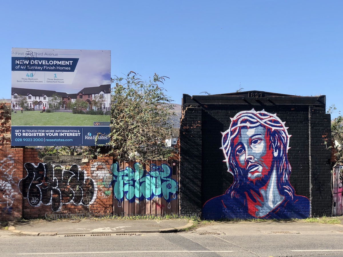
The block between First and Third streets was occupied (from 1956 onward) by a Wellman Smith Owen Engineering factory, which had earlier been the Falls Foundry (History); it’s not clear what the date “1897” refers to (above Jesus’s head – for the mural, see Prince Of Peace Line) as the foundry was established in 1845 (Lindsay 1970, Textile History 1.3). Wellman still exists as a company but the foundry at First Street was closed in 1968 (Grace’s). The site is finally to be redeveloped with 48 semi-detached and one detached house – images of what the houses will look like upon completion can be seen at Rea Estates (web).
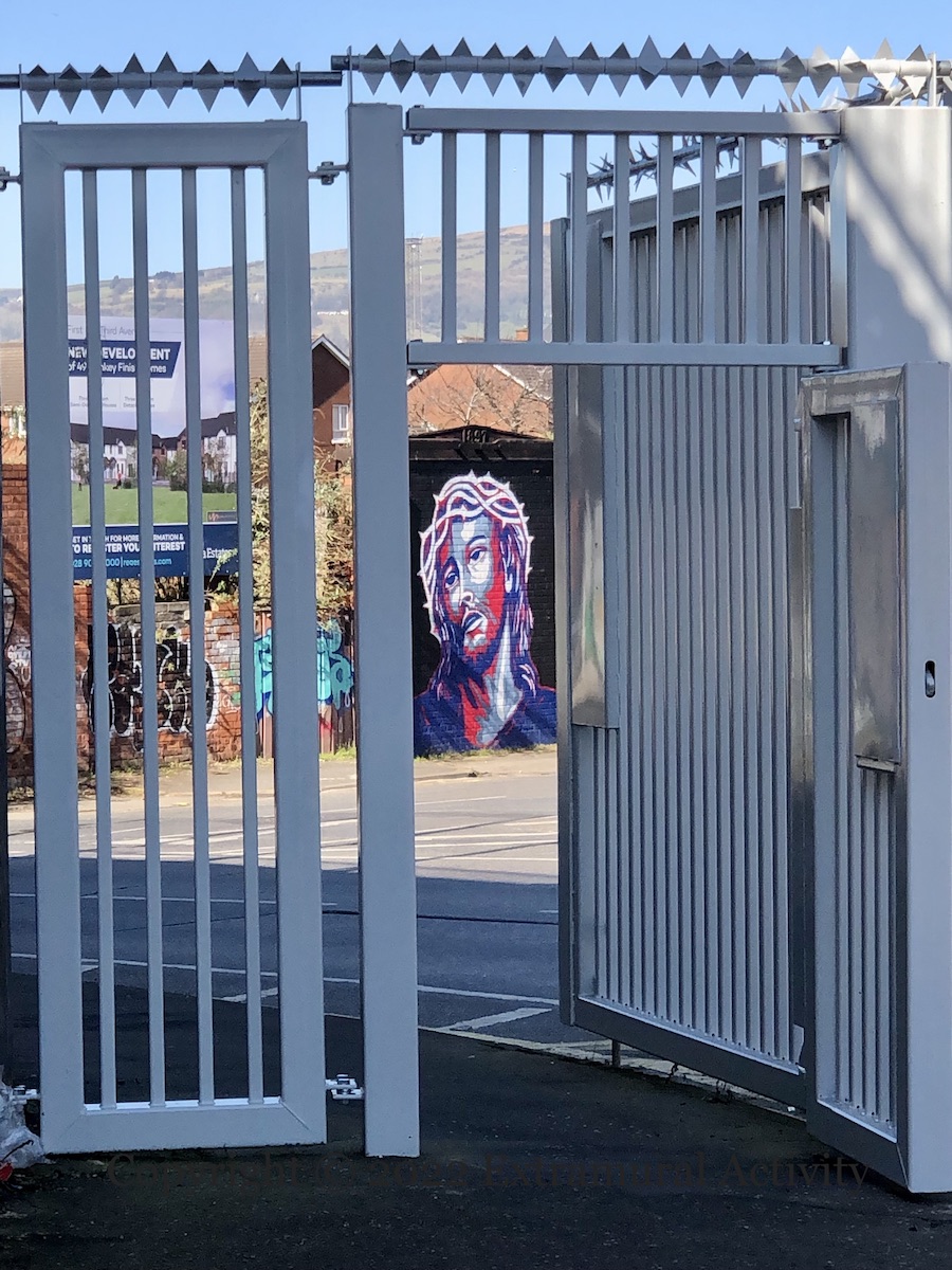
The new development is presaged by the (May 2021, but still looking fresh) scaled-down security gate at the junction with North Howard Street – similar to the changes made at Workman Avenue and at Townsend Street – with pedestrian gates on both footpaths and no metal sheeting to obscure the view.
Click image to enlarge
Copyright © 2022 Seosamh Mac Coılle
X09818 X09817
